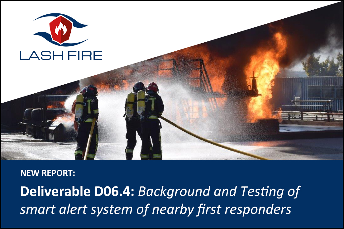
The sixth work package in LASH FIRE deals with effective manual operations and the aim of Task T06.10 therein, is the development and demonstration of smart alert system of nearby first responders. Particularly, the research objective is to develop an innovative geo-positioning technology to allow more efficient first response to initial fires on ro-ro vessels. Besides the core geo-positioning technology, the aim is also to provide the building blocks of a novel vessel indoor information system that will provide fire intelligence during patrol operations. For the above purpose, T06.10 capitalizes upon the technology ecosystem of Anyplace, which is a Wi-Fi localization, navigation, crowdsourcing and indoor modeling platform developed over the years at the University of Cyprus. Although Wi-Fi, 4G and 5G is available or will become available to some limited degree on vessels to provide network (and Internet) connectivity to personnel and passengers, dense deployment of radio antennas necessary to provide accurate localization is not available. This led to the design and development of an innovative geo-positioning technology with “zero” infrastructure. Particularly, the aim was to offer similar accuracy to Wi-Fi localization (i.e., room-level accuracy to about 1-10 meters) with low installation and maintenance cost. Our solution uses static elements of vessel spaces as reference points and can be recognized by commodity smartphone cameras (e.g., deck patterns, bulkhead
patterns, hoses, fixed installations, signs, control buttons). The spatial location of vessel objects is
collected as a one-off installation process and can then be utilized for technology-driven localization
and first response in the early stages of a fire.
Read the full report here.

